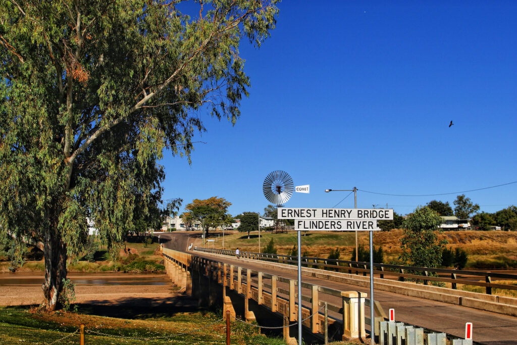
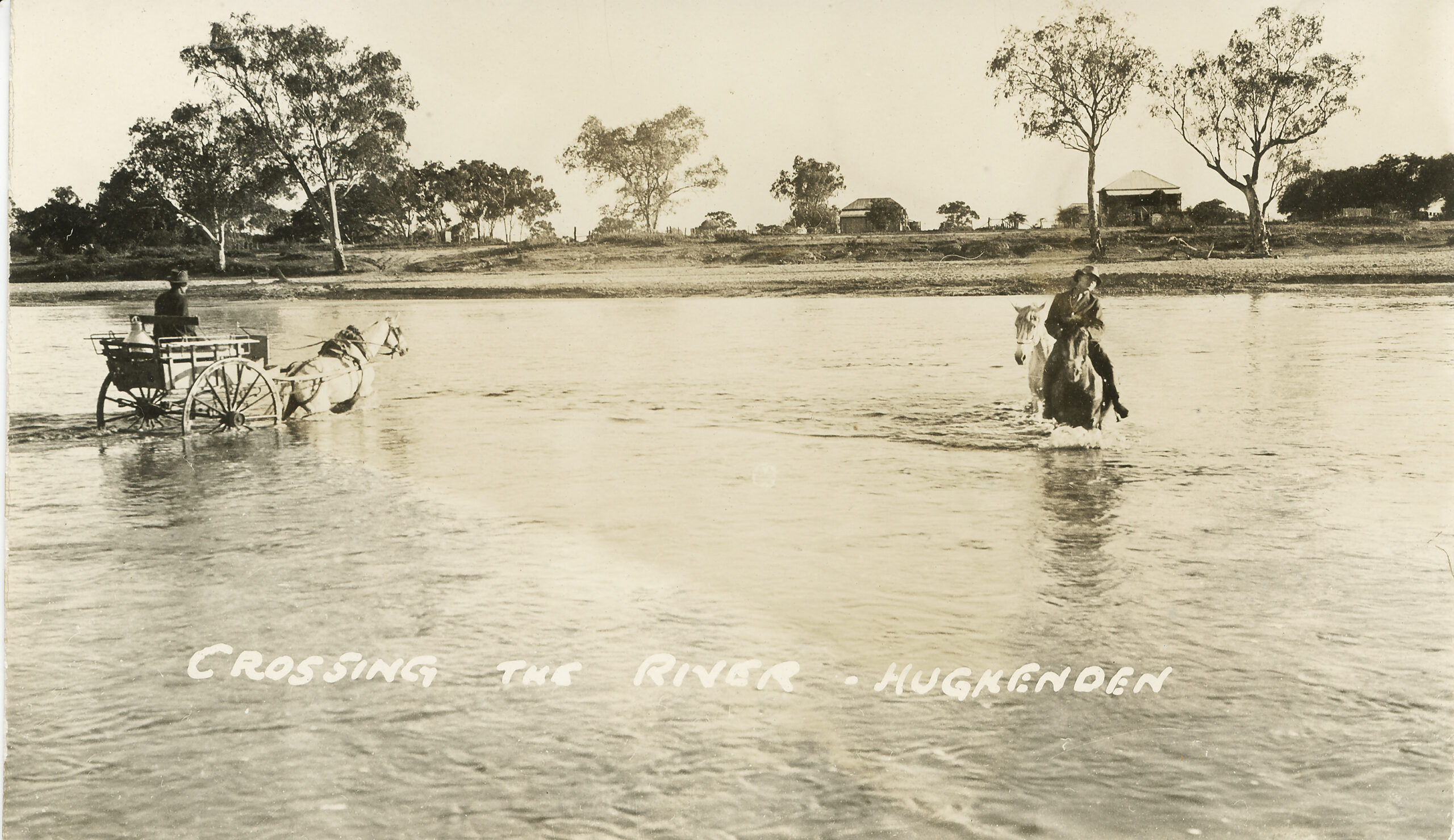
Stretching across vast parts of Queensland and carving through the heart of Hughenden, the Flinders River is one of the state’s most iconic waterways and its longest. Its historical and environmental significance runs deep, not only in shaping the land but in leaving a profound mark on local history and culture. As one of Queensland’s longest rivers, the Flinders offers insights into Australia’s ancient past and continues to serve as a critical resource for the region today.
Shaped by Ancient Seas
The Flinders River’s journey through time began millions of years ago when much of inland Australia, including parts of Queensland, was submerged beneath the vast Eromanga Sea. This ancient inland sea existed during the Cretaceous period, leaving behind a landscape rich in marine fossils, minerals, and distinct geological features. Hughenden, in particular, has become famous for its fossil finds, with remnants of prehistoric marine life frequently unearthed in the region (Austhrutime).
As the Eromanga Sea receded, it contributed to the unique geography of the area. The river carved out channels and gorges over millions of years, such as the nearby Porcupine Gorge, where layers of rock reveal the ancient seabed. The Flinders River, though its flow may seem intermittent today, is a lasting reminder of these ancient waterways and how they sculpted Queensland’s natural environment.
Indigenous Heritage and Traditional Owners
The Flinders River has long been part of the traditional lands of the Indigenous peoples who have inhabited the area for thousands of years. The Kalkadoon, Mitakoodi, Kukatj, and numerous other groups, including the Gugu-Badhun and Yirandali peoples, have deep connections to the river and its surrounding lands. These communities lived in harmony with the land and the water, relying on the river for sustenance, navigation, and spiritual significance.
The Yirandali (also referred to as Jirandali) people, whose language region includes the Hughenden area, played an essential role in preserving the cultural knowledge of the land. The region’s Aboriginal languages, including Wanamara and Dalleburra, are rich in history and tradition, tied closely to the geography of the Flinders River and its surrounding landscapes.
The river also holds importance in Dreamtime stories, illustrating the deep spiritual connection Indigenous peoples have to the land. These stories often centre around the creation of the land and waterways, marking significant sites where the natural environment and cultural heritage intersect.

The Flinders River in European Exploration and Settlement
The European discovery of the Flinders River occurred in 1841 when Captain Wickham and Lieutenant John Lort Stokes of HMS Beagle surveyed and charted the estuary, naming it in honour of famed British explorer Matthew Flinders. Stokes also named other features in the area, such as Disaster Inlet and the Van Diemen River, many of which still bear those names today.
The Flinders River became crucial in subsequent European explorations. The famed expedition of Robert O’Hara Burke and William John Wills in 1861 brought them to the river delta during their ill-fated attempt to cross the Australian continent from south to north. Their journey, passing through Hughenden, ended in tragedy as both explorers perished on the return leg due to harsh conditions and lack of resources.
Following the explorers, settlers moved into the region, driven by the pastoral potential of the land. James Gibson was the first pastoralist to establish cattle stations along the Flinders in 1861, founding Prairie Station. By 1864, Gibson and other settlers expanded further, establishing Millungera and Taldora Stations, which still operate today.
The Ever-Present Challenge of Flooding
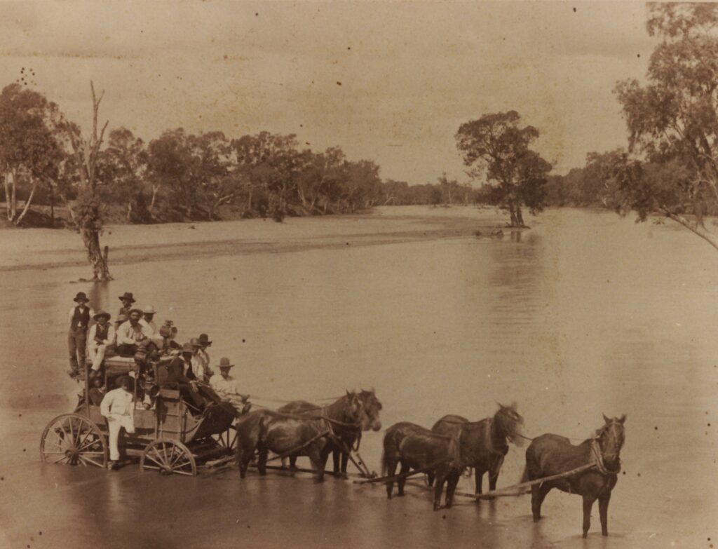
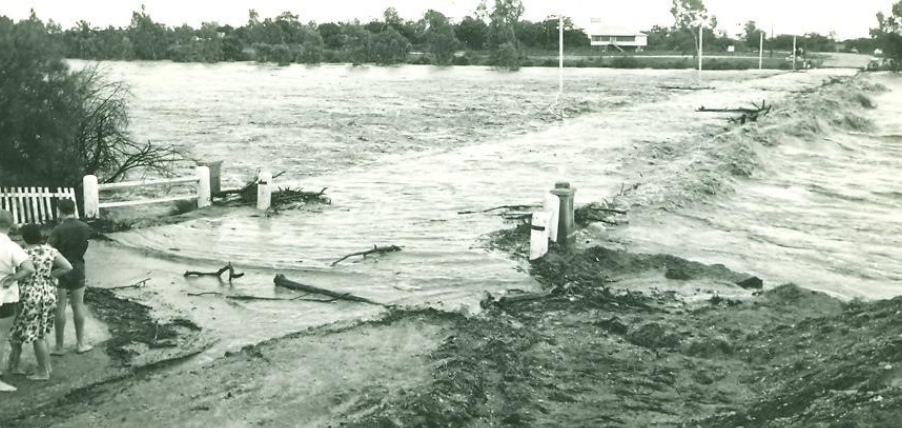
Though the Flinders River may appear dry much of the year, it is prone to severe flooding. The unpredictable nature of the river means that heavy rainfall can cause it to swell dramatically, as recorded in several historical floods. In July 1870, heavy rains caused the river to rise significantly, leading to the loss of over 4,000 sheep at one station and the cutting off of major roads. Even more devastating was the 1917 flood, which saw Hughenden inundated, with multiple fatalities reported (CSIRO). Floods continued to impact the region throughout the 20th century, with significant events recorded in 1955, 1960, 1974, 1991, and 2000 (CSIRO). More recently, in early 2019, Queensland experienced some of the worst flooding in half a century. The Flinders River’s broad floodplain, stretching up to 60 kilometres wide in parts, led to massive flooding, causing severe losses to cattle farmers, many of whom saw large portions of their herds washed away (CSIRO).

Agriculture and Modern Development Along the Flinders River
In addition to its historical importance, the Flinders River has become central to modern agricultural initiatives. Over the years, pioneering projects like Corbett Tritton’s successful application for one of the first irrigation licenses in 2003 set a precedent for expanding agricultural use of the river, allowing crops such as sorghum and cotton to flourish and demonstrating the region’s agricultural potential. This success prompted other graziers to explore similar initiatives, leading to a temporary moratorium on irrigation licenses, which was ultimately lifted in 2013. Today, managing the river’s resources involves careful balancing, especially given climate change and increased agricultural demand. Sustainable water management has become a priority to protect the environment while supporting local livelihoods.
A notable recent development is the proposed Hughenden Irrigation Project Corporation (HIPCo) scheme, an ambitious initiative aimed at transforming the region’s agricultural landscape. The project plans to create a 7.6-kilometre-long earth embankment near Saego Station, using natural basalt plateaus to form a water storage facility with a capacity of approximately 161,000 megaliters. This reservoir will enable water delivery to an expansive 11,000-hectare irrigation precinct, supporting both high-value horticultural crops, like avocados, mangoes, lemons, and mandarins, and essential cereal grains, hay, and fodder for the local cattle industry.
This infrastructure will address a long-standing issue in the region—a lack of reliable water supply, which has limited the potential for large-scale horticulture. The HIPCo project proposes to build a 161,000-megaliter dam, located 45 kilometres northwest of Hughenden on the northern side of the Flinders River. Additional storage will be facilitated by a weir near Alderley Crossing, connected via a 5-kilometre gravity diversion channel to other water sources, allowing for efficient water distribution across the Stewart, Jones Valley, and Back Valley Creek catchments. A pipeline beneath the Flinders River will transport water from Saego Dam to the designated irrigation areas on the southern side, with all operations designed to adhere to environmental flow objectives under the Gulf Water Plan.
The southern plains of the Flinders River, rich with nutrient-dense black soil, provide ideal conditions for irrigated agriculture. Located outside the floodplain and largely devoid of heavy tree cover, these lands are optimal for sustainable crop cultivation. Infrastructure, including pipelines and pump stations, will facilitate water delivery from Saego Dam, transforming the region into an agricultural hub for Queensland.
At full production, the HIPCo scheme is expected to yield up to 74,000 megaliters annually for medium-priority water allocations or 32,000 megaliters for high-priority uses, balancing between cereal grains and high-value horticulture. The projected impact is substantial, with the scheme poised to generate an estimated $776.6 million in net present value over its lifespan and create over 1,900 ongoing agricultural jobs, alongside 2,500 jobs during construction. The project aims to fortify Hughenden and the Flinders Shire as resilient, economically robust communities that are prepared for future agricultural challenges. This large-scale water infrastructure represents a potential nation-building project, placing the Flinders River at the forefront of sustainable development in northern Queensland.

Flora and Fauna of the Flinders River
Despite its arid appearance for much of the year, the Flinders River and its surrounding landscapes are home to a diverse array of flora and fauna. During the wet season, the floodplains come to life, transforming into wetlands that support various species. Native plants such as eucalyptus, wattles, and river gums thrive along the banks, while wildlife including wallabies, kangaroos, and a variety of bird species like kites and kingfishers make their homes here (CSIRO).
For birdwatchers and nature enthusiasts, the river provides ample opportunities to spot unique species, especially after rains. The seasonal abundance of water draws flocks of birds and creates temporary ecosystems that flourish until the dry season returns.
Flowing into the future
The Flinders River, with its ancient roots, cultural significance, and environmental value, remains a defining feature of Hughenden and the surrounding regions. Whether you’re exploring its geological history, understanding its impact on local agriculture, or witnessing the seasonal flooding, the river continues to shape the land and the lives of those who depend on it.
References
- http://hardenup.org/media/347511/queensland_flood_history.pdf
- https://edition.cnn.com/2019/02/14/australia/australia-flinders-river-intl/
- https://wetlandinfo.des.qld.gov.au/wetlands/ecology/aquatic-ecosystems-natural/riverine/index.html
- https://www.abc.net.au/science/ozfossil/ageofreptiles/eromanga/default.htm
